Understanding Trail Maps and Their Importance
For outdoor enthusiasts, navigating through nature can be both exhilarating and daunting. A reliable trail map serves as a crucial tool in ensuring that adventurers find their way safely and efficiently. Understanding what a trail map is, its benefits, and its key features can greatly enhance the outdoor experience.
What is a trail map?
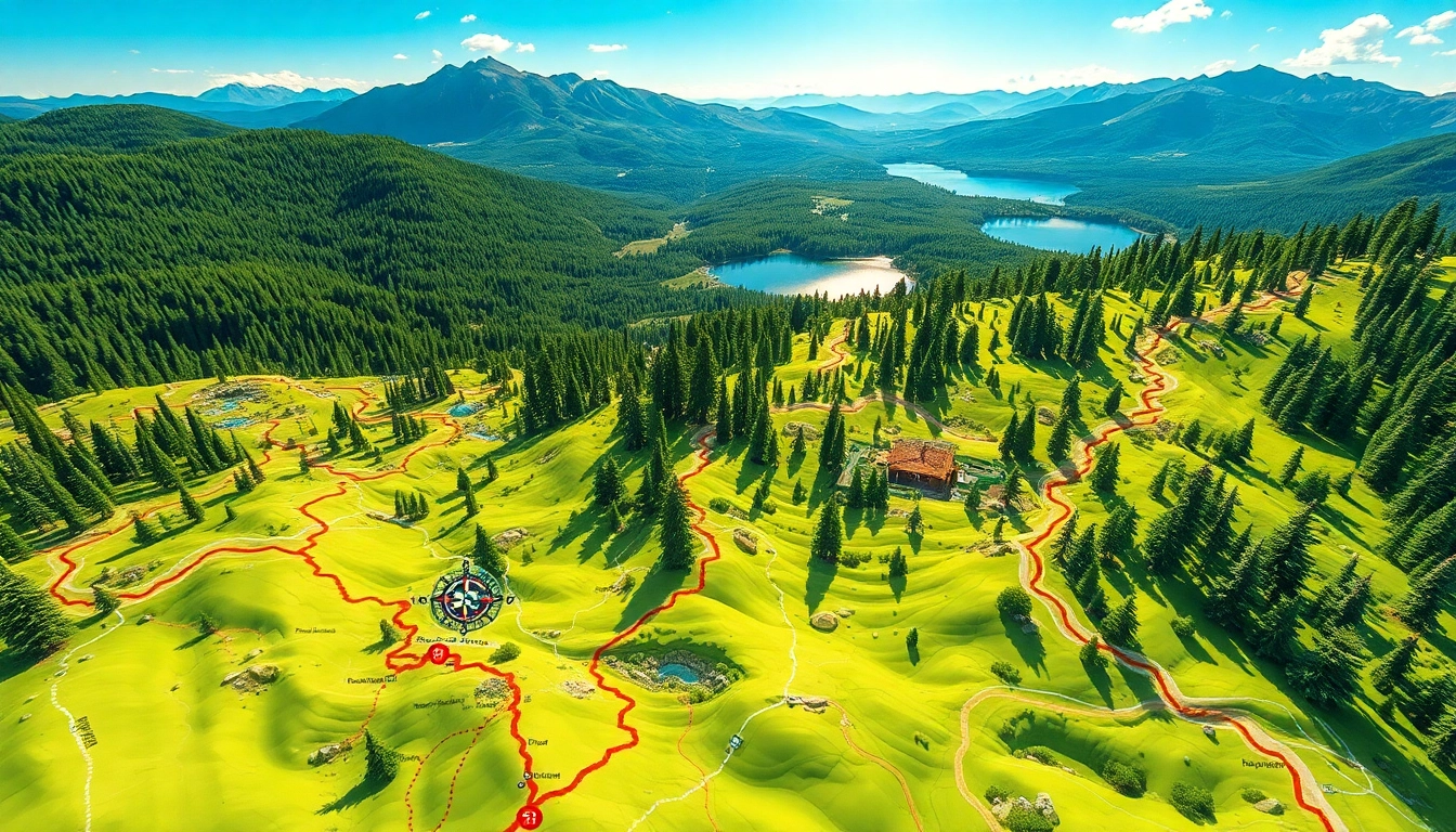
A trail map is a visual representation of hiking, biking, or other outdoor trails, designed to guide users through different terrains. These maps vary in detail and style, but most will include key information such as trail routes, elevation changes, landmarks, points of interest, and sometimes even the flora and fauna that can be found along the way. Whether printed or digital, trail maps are indispensable for anyone planning to venture into the wilderness.
Benefits of using a trail map
Utilizing a trail map offers numerous advantages:
- Navigation: Maps help outdoor enthusiasts stay on the right path, preventing them from getting lost in unfamiliar areas.
- Safety: Knowledge of the terrain, elevation changes, and points of interest increases safety by helping users anticipate challenges and plan accordingly.
- Training: Understanding the difficulty ratings and types of terrain can help users choose trails that match their skill levels.
- Exploration: A good trail map can reveal hidden gems—lesser-known trails and picturesque views that may not be immediately apparent on more generic maps.
Key features to look for in a trail map
When selecting a trail map, several important features should be considered:
- Scale: Understanding the scale of the map is crucial for estimating distances accurately.
- Topography: Elevation contour lines can inform hikers about the steepness of the trail and potential challenges ahead.
- Trail Conditions: Some maps provide information about trail conditions, including closures or maintenance updates.
- Landmarks and Points of Interest: Identifying landmarks can assist users during their journey and help them appreciate the area’s history and ecology.
How to Obtain Reliable Trail Maps
Finding quality trail maps is essential for your outdoor adventures. Various resources, both online and offline, can help you acquire the information you need.
Online resources for trail maps
The digital age has made accessing trail maps easier than ever. Websites dedicated to outdoor activities often have extensive databases of trails, featuring downloadable maps and community reviews. When searching for a reliable online resource, look for sites that provide verified data, user experiences, and current annotations on trail conditions. These platforms not only offer static maps but also often have interactive maps that allow you to customize your search based on difficulty level, distance, and user ratings.
Local visitor centers and outdoor shops
A visit to a local visitor center or an outdoor shop can also yield valuable maps. These locations often provide region-specific trail maps, complete with firsthand insights into trail conditions from local experts. Staff members can share recommendations based on your skill level and interests, helping you discover hidden gems that may not be published online.
Creating custom trail maps
For the more adventurous and tech-savvy, custom route creation has become an incredibly useful tool. Many applications allow users to trace their own trails, incorporating personal waypoints and notes. This can be particularly beneficial for those who may want to modify existing trails or combine several routes into one day hike. Custom trail mapping can ensure that your outdoor experience is uniquely tailored to your preferences.
Best Practices for Using Trail Maps Outdoors
While having a trail map is a great start, knowing how to effectively use it is of equal importance. To aid in successful navigation, here are some best practices to employ outdoors:
Essential equipment for navigation
Navigation isn’t solely dependent on having a quality map; complementary gear is essential. Consider investing in a high-quality compass, GPS device, or smartphone application that can support trail navigation. It’s advisable to familiarize yourself with how to use these tools alongside your trail map. Better yet, practice in a safe area before your trip to ensure you are comfortable with them in the field.
How to read and interpret trail maps
Understanding how to read a trail map is crucial for any outdoor adventure. Familiarize yourself with symbols used on the map, such as trail markers, landmarks, and scale indicators. Practice estimating distances based on the scale and visualize the terrain through contour lines. Engage in discussions with fellow hikers or attend map reading workshops if you’re uncertain about these skills.
Understanding trail ratings and symbols
Trails come with ratings that can help you gauge their levels of difficulty. Commonly used ratings include easy, moderate, and difficult, often indicated by colors or symbols. Understanding these ratings will help you select trails that align with your experience level and comfort zone, which is paramount in ensuring a rewarding experience without unnecessary risks.
Tips for Planning a Trip Using Trail Maps
Effective trip planning using a trail map can make a significant difference in your outdoor experience. Here are some tips to ensure that you’re prepared:
Selecting the right trail for your skill level
Before embarking on your adventure, take the time to assess your skill level honestly. For beginners, it’s advisable to choose easy or moderate trails to build confidence and skills. Intermediate and advanced hikers can challenge themselves with more strenuous routes that offer rewarding views and experiences. Review distance and elevation gain, and listen to how other hikers reflect on their experiences of the trail.
Preparing for different terrains and conditions
Nature can be unpredictable. Therefore, preparation for various terrains and weather conditions is essential. Study the trail map for elevation changes and corresponding terrain types. Pack appropriate clothing, shoes, and gear that will accommodate potential weather shifts, whether it’s rain, snow, or heat. Additionally, inform fellow hikers about your intended route and timeline to ensure safety.
Utilizing technology alongside trail maps
With technology advancing rapidly, many apps can track your location and provide detailed trail conditions. However, it’s vital to remember that technology can fail due to battery issues or lack of service, especially in remote areas. Always have a printed or offline version of your trail map as a backup to ensure you remain on the path regardless of your device’s reliability.
Enhancing Your Trail Map Experience
As you navigate through various landscapes, consider ways to enhance your experience. Here are some suggestions:
Sharing and reviewing your favorite trails
Engaging with fellow outdoor enthusiasts can provide valuable insights and deepen your appreciation for nature. Consider sharing your experiences and reviewing trails online. From personal blogs to social media platforms dedicated to outdoor experiences, your contributions can help others discover trails while enabling meaningful interactions.
Joining communities for trail map enthusiasts
Joining local hiking clubs or online communities dedicated to trail mapping can provide a wealth of knowledge. These groups often facilitate meetups, workshops, or online discussions focused on trail navigation. Networking with other hiking enthusiasts enhances the experience while allowing for shared tips, recommendations, and camaraderie.
Staying updated on trail conditions and changes
Trails can change due to various reasons like weather, maintenance, or natural occurrences. Following trail social media pages, subscribing to newsletters, or checking regularly updated websites can help ensure that you’re always informed about current trail conditions before your trip. Remaining flexible and prepared to adapt your plans is key to enjoying the great outdoors.